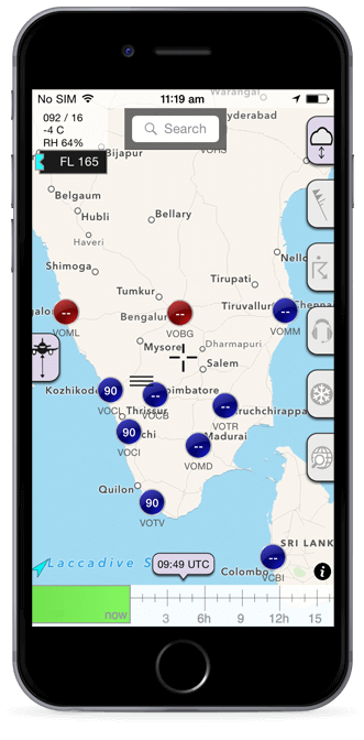
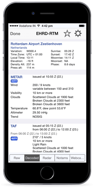

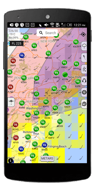
Sky MET offers all weather info any pilot could want. It is map focused, giving you a clear view of the weather conditions of all local stations. Metar and TAF details are always an easy click away. And you can always search stations by name.
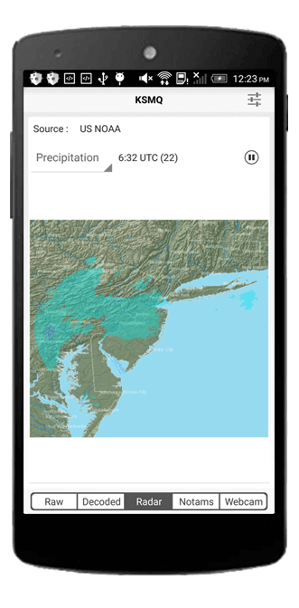
Sky MET offers Notams, radar images and webcam info. You can view the wind conditions plotted for any altitude and time. The SIGMET and pilot reports for each time help you to plan trips accordingly. The Sky MET data is provided by the engine on Sparkling Apps servers that will always provide the latest aviation weather info. Sky MET is FAST. Sky MET is reliable. No need for monthly or yearly subscriptions, Sky MET is available for a single one time purchase, which will entitle you to all future updates.

Sure, you can get TAFs and METARs everywhere, but you'd be hard pressed to find a map based over overview that provides you instant insight in how the weather will develop over time, just by moving a slider.

Unlike most other weather apps, Sky MET presents you with the full range of international Sigmets and airmets required when preparing for your next trip.
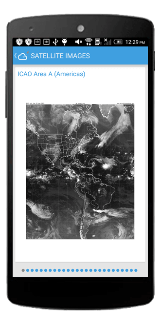
Sky MET calculates the areas with relatively high cloud density. These areas are displayed in on the map where blue and yellow coloration's indicate the likelihood of icing conditions.

TAF and METAR decoding
Crosswind component calculation
Weather radar for each station
Station NOTAMS
© 2015 Sparkling Apps All Rights Reserved.